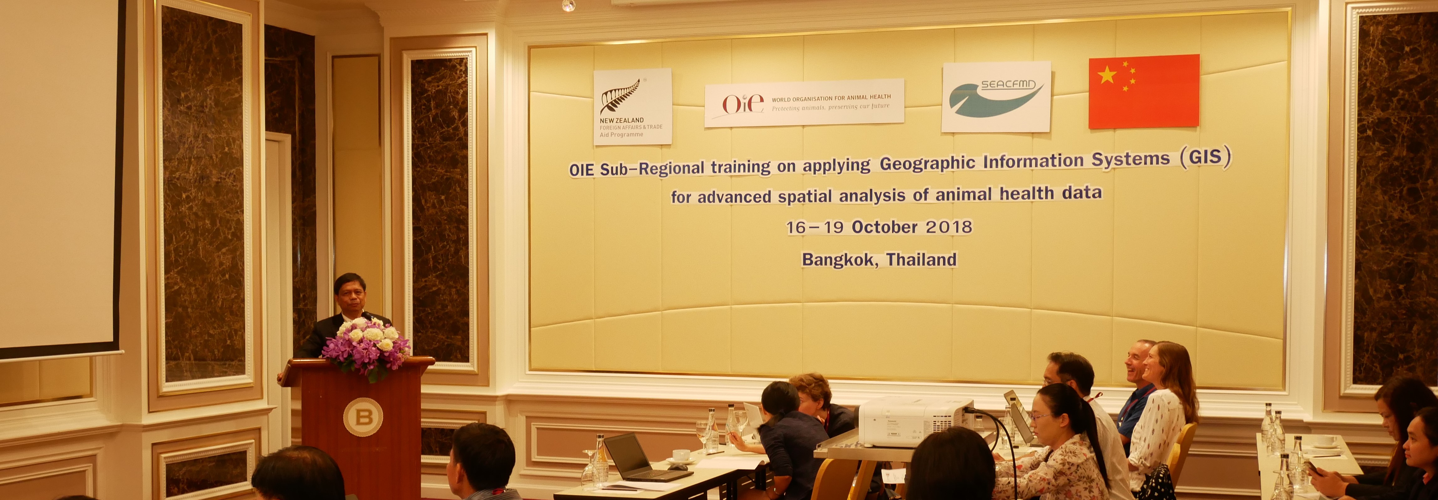
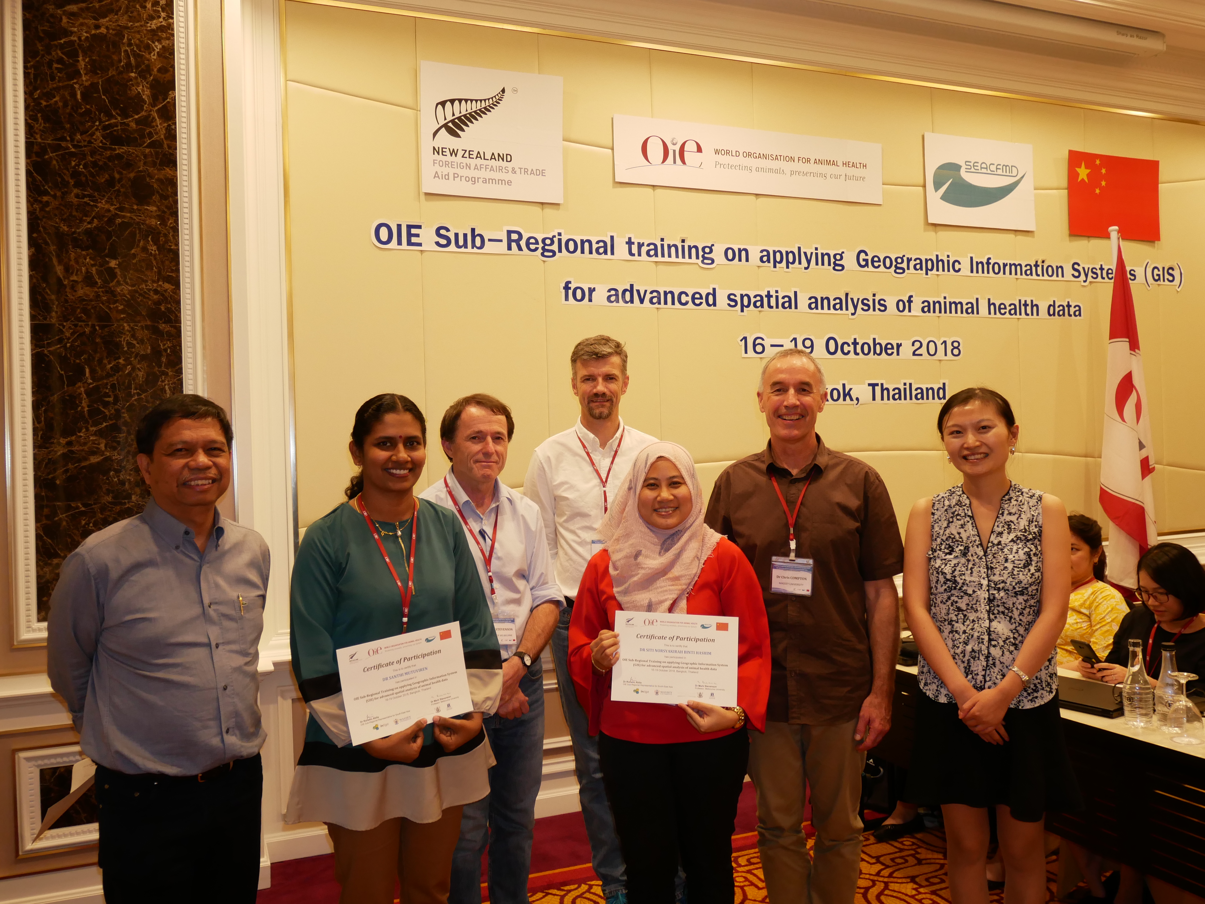
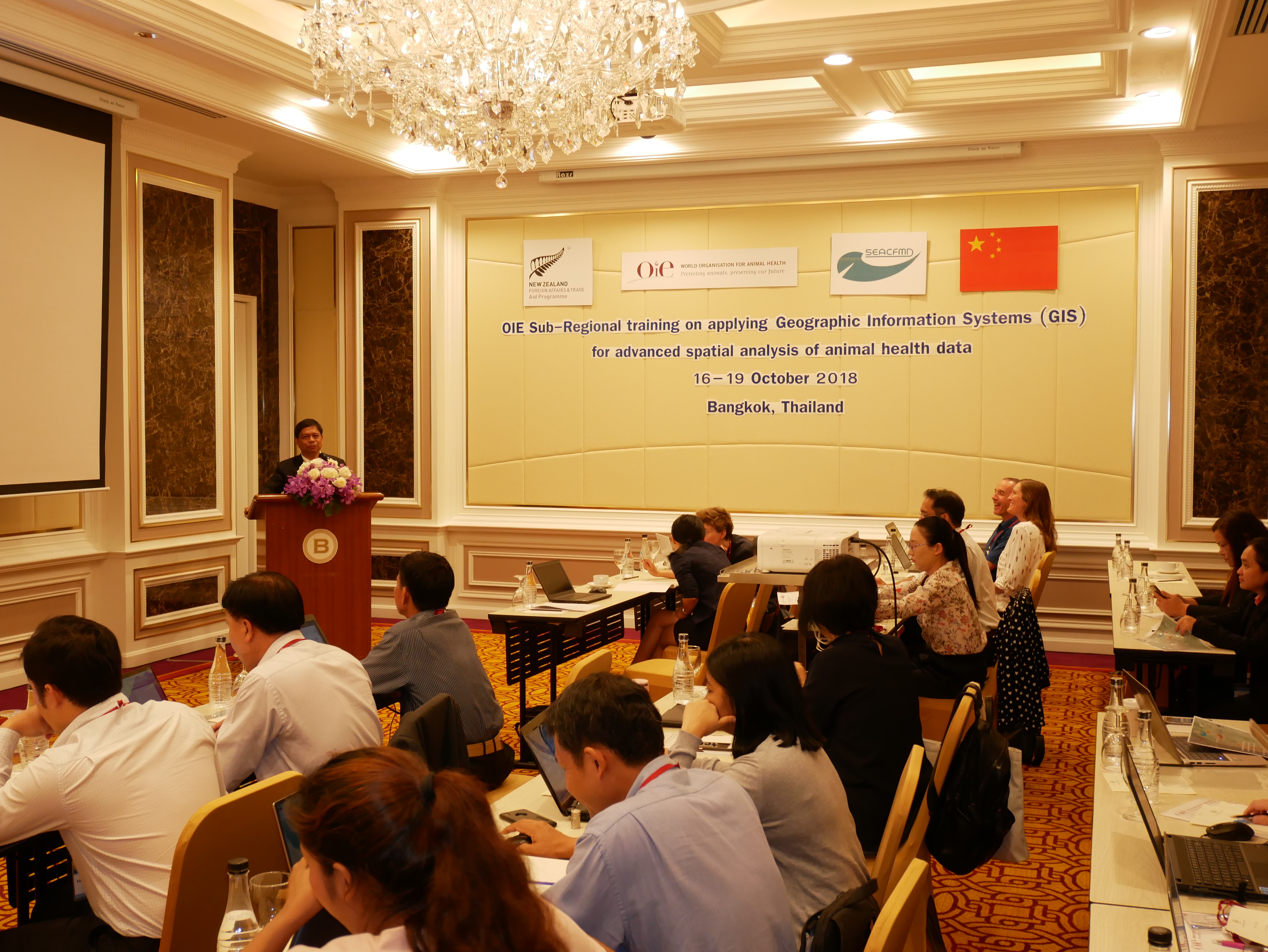
Applications of spatial epidemiology using GIS software have increased in their capacity to analyse and interpret data for enhanced understanding of relationships, disease patterns and trends. In recognizing the application of GIS software in animal disease surveillance and control, the OIE SRR for South-East Asia (SEA) organised a four-day training course. Following the first training in 2017, the present training aimed at consolidating the material and learnings from the previous course and extend it further to increase the capability of participants to perform such work effectively.
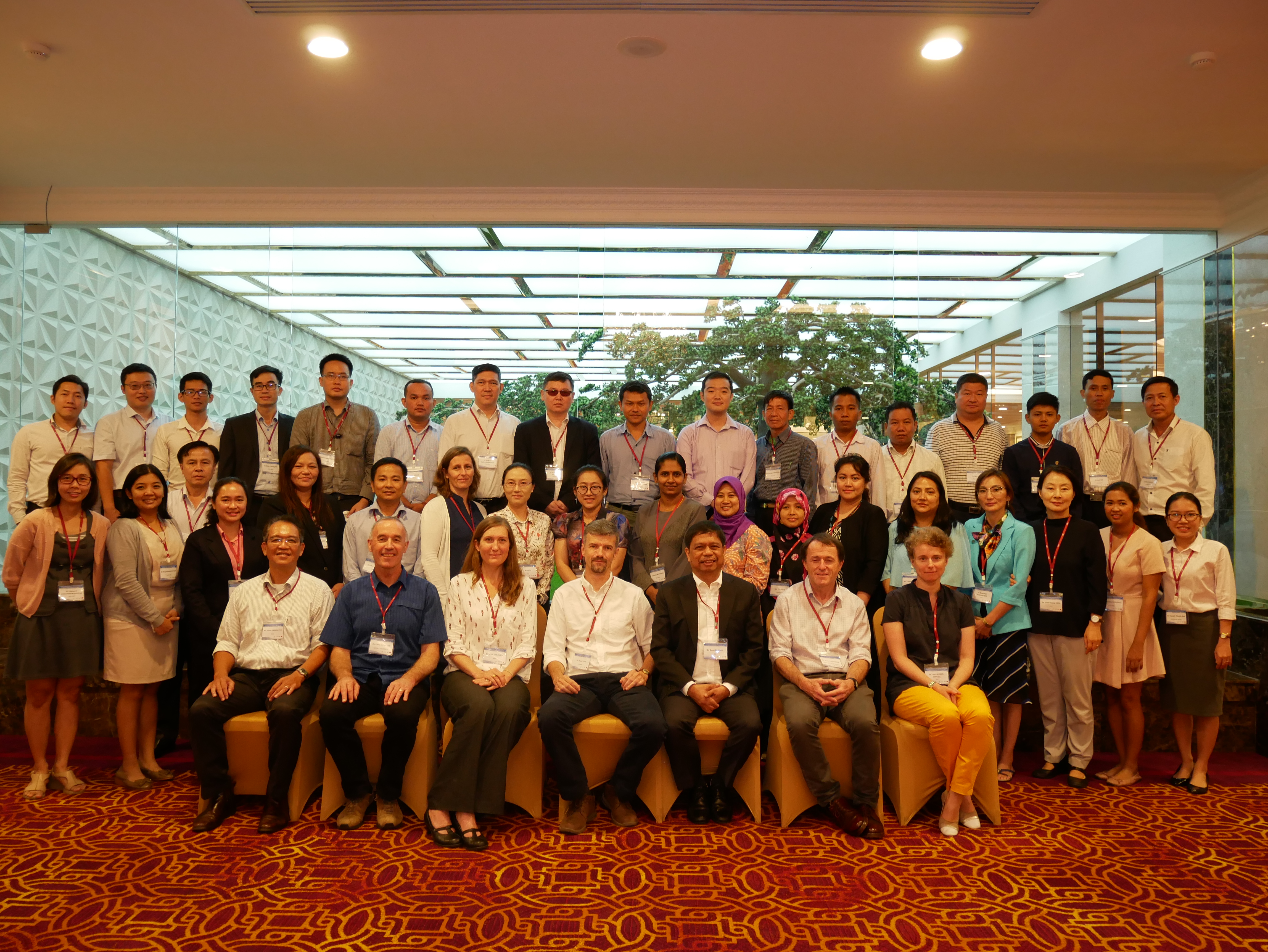
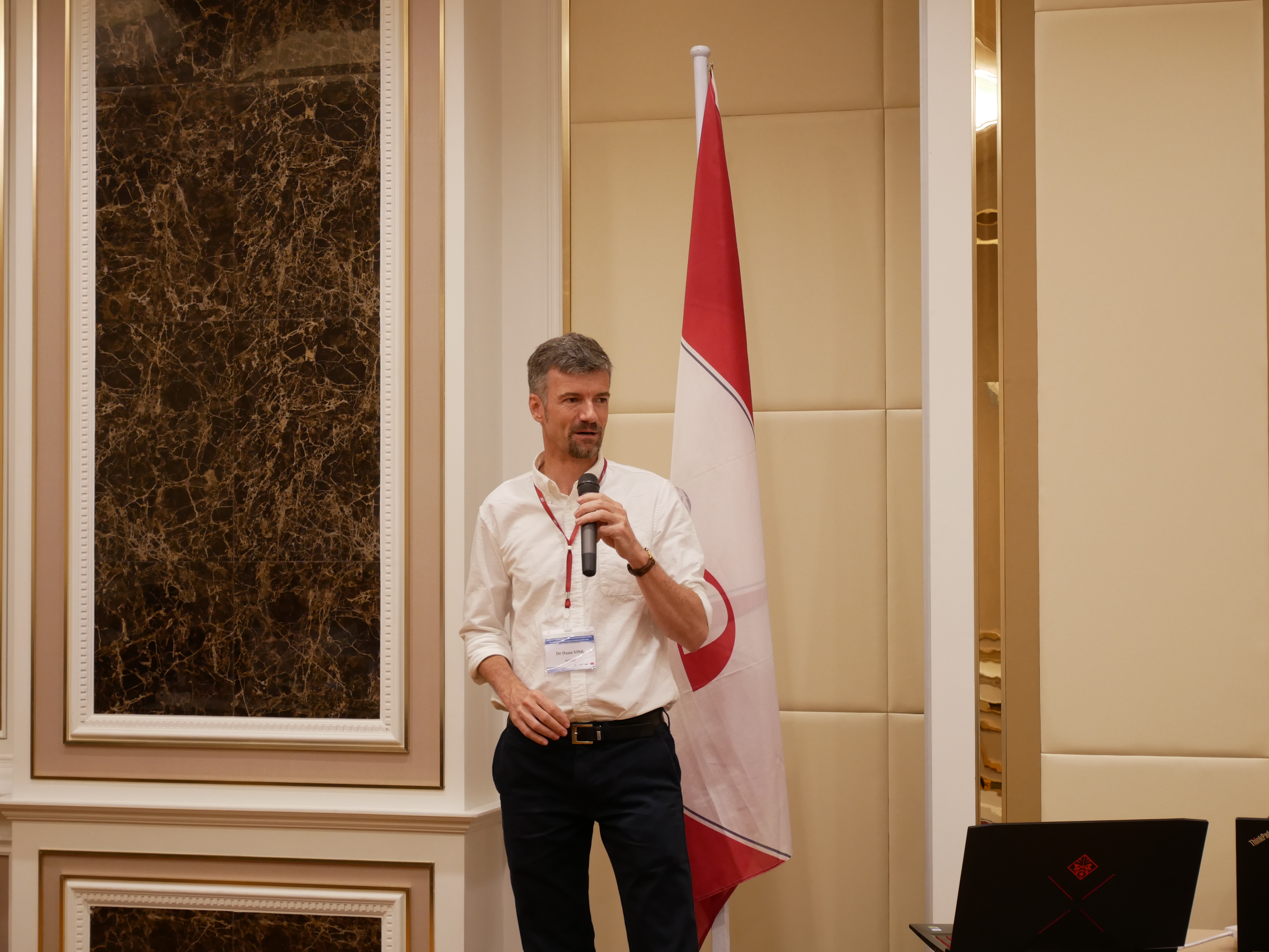
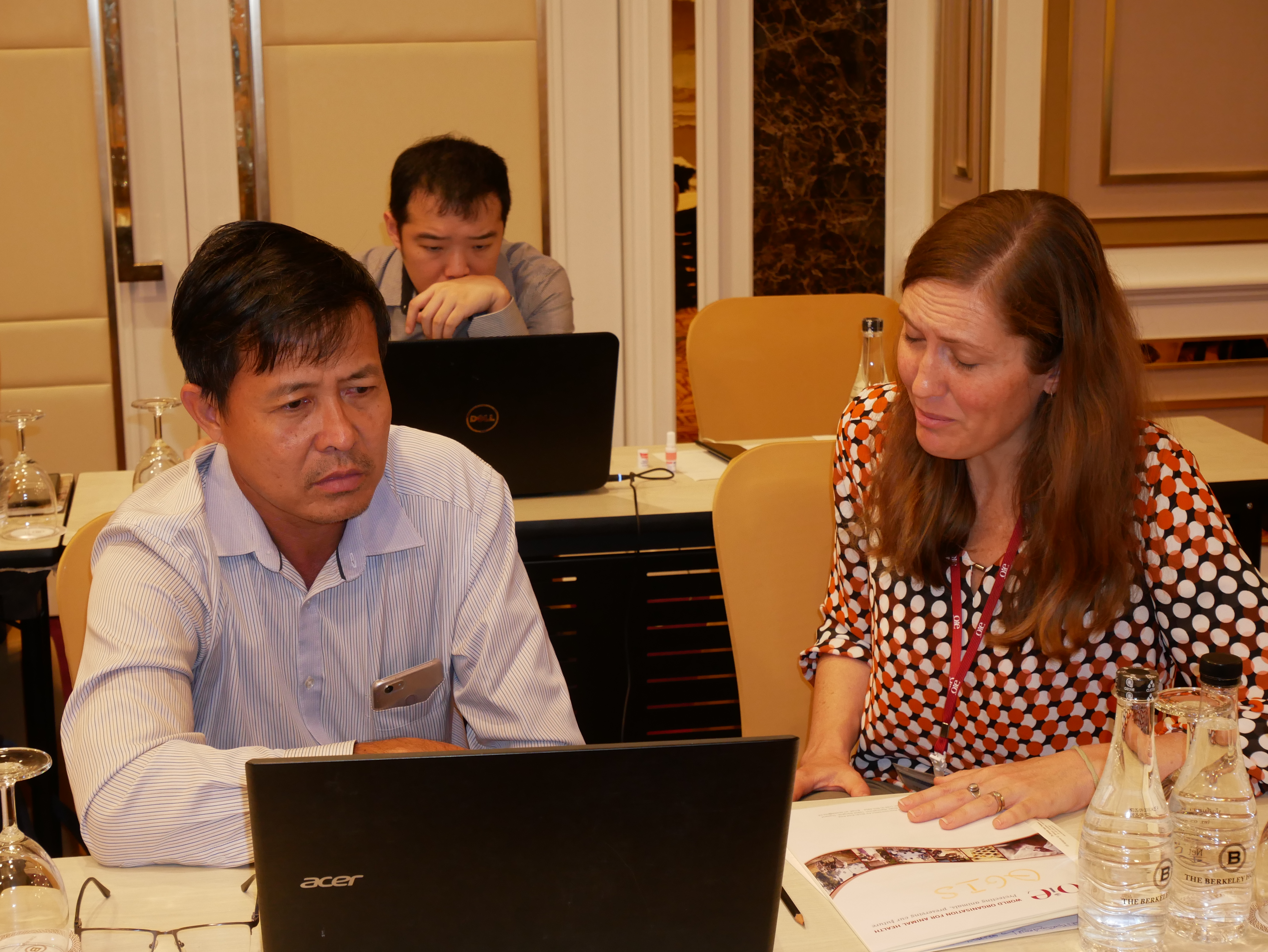
The training was attended by selected key staff from central Epi Unit of SEACFMD Member Countries, 7 FAO staff from the Asia-Pacific Regional and National offices, and the OIE SRR-SEA staff. The training was delivered by 4 experts, namely Dr Daan Vink, Prof Mark Stevenson, Dr Chris Compton, and Dr Mary Van Andel.
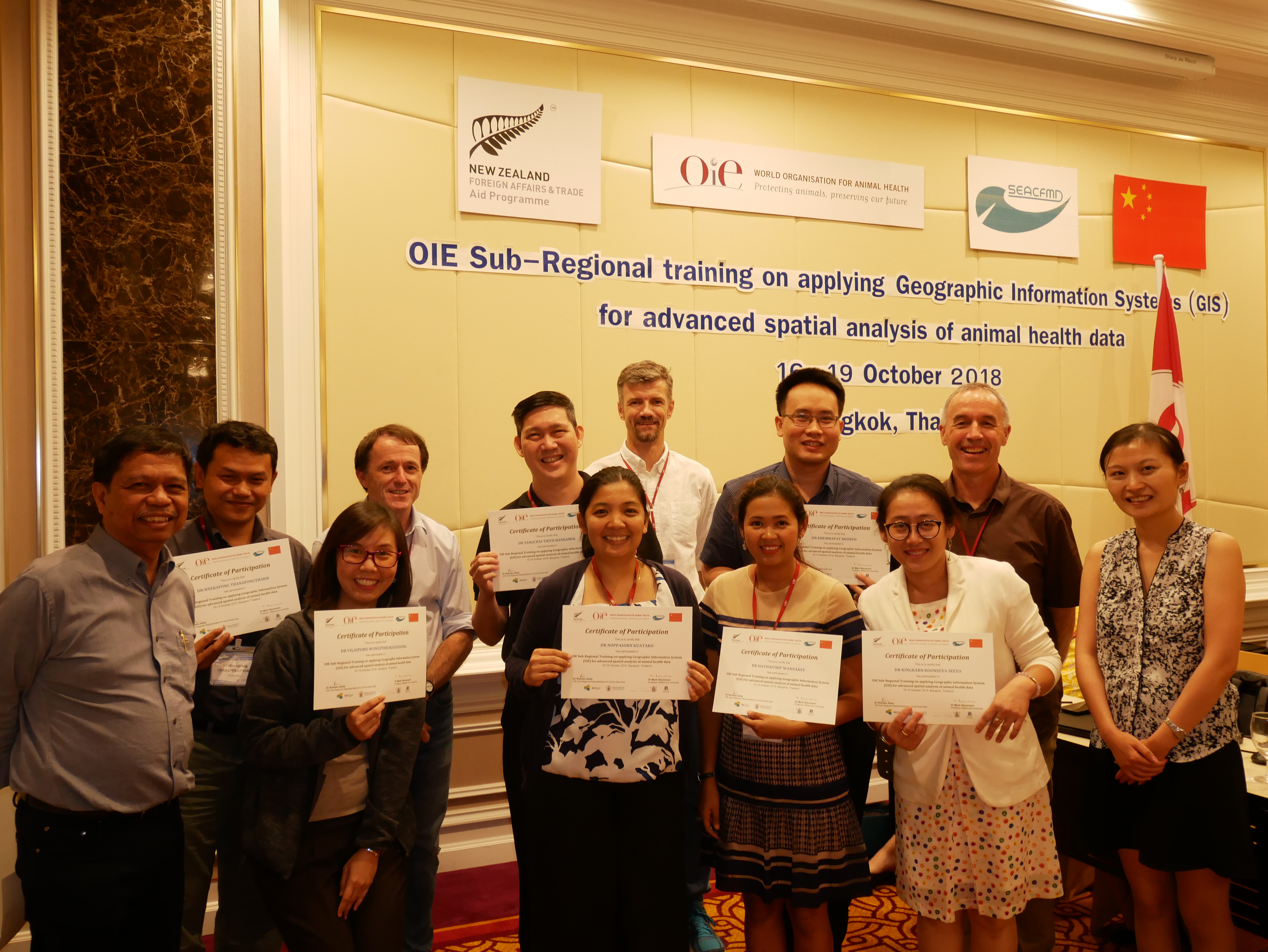
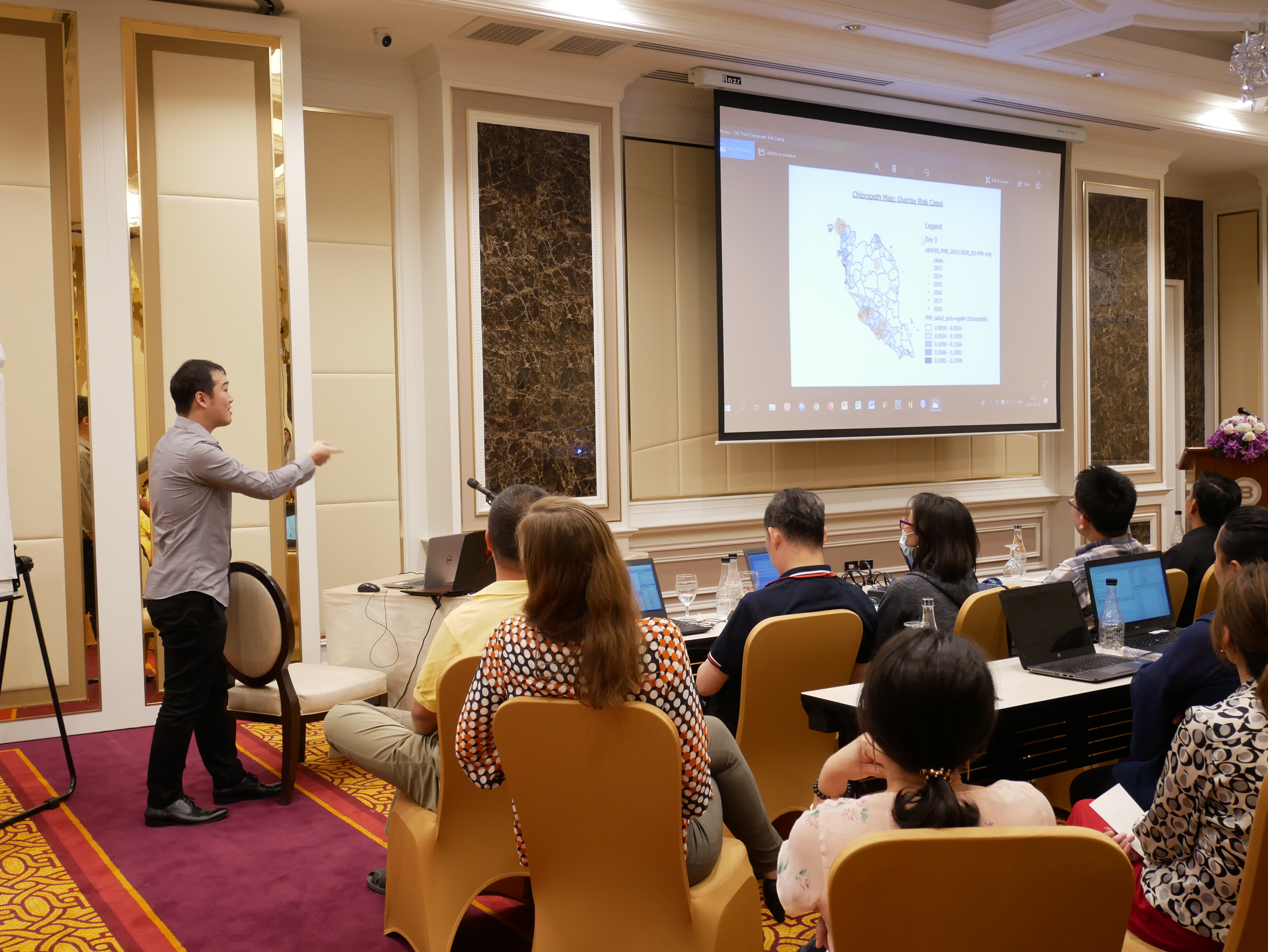
The training was composed of lectures and practice sessions, which aimed to help participants to strengthen their GIS knowledge and skills of the analysis of disease data in their daily work. Through this training, participants improved their understanding of spatial epidemiology, were able to detect clusters of disease in space and time, identify potential hotspots and model the space-time cluster patterns, became proficient in undertaking a spatial disease risk assessment, and had increased proficiency in using tools such as QGIS and R to perform such spatial analysis.
The training was supported by the government of New Zealand through its contribution to the SEACFMD.